Description
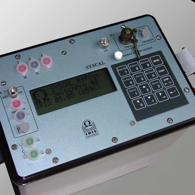
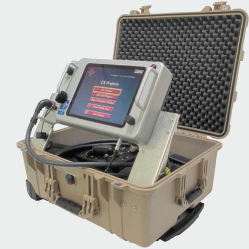
The measurement is fully automatic, controlled by a microprocessor: automatic self-potential correction, automatic ranging, digital stacking for signal enhancement, error display in case of procedure troubles. The internal memory can store more than 800 measurements (3000 in multi-electrode mode) with full information on intensity, voltage, resistivity, IP Charge-ability, geometrical parameters and station number. A serial link permits transfer of the data to a microcomputer for plotting and interpretation of the data.
It can be used for civil engineering, groundwater and environmental projects, to solve problems such as depth-to-bedrock determination, localization of weathered bedrock. Its power makes it adapted to detect fault in fractured bedrock aquifers and to explore groundwater aquifers (depth and thickness).
Applications
Water resources
- Locate conductive fault in fractured aquifer
- Assess water table characteristics
- Characterize salt water wedge extension in groundwater
Environment
- Monitor pollution
- Detect leaks and monitor degradation in waste disposal
- Locate and image buried structures
Natural hazard
- Detect and characterize cavities
- Assess landslide extension and volume
- Detect and locate clayey layers for geotechnical application

